Operator: Nationalpark Oberösterreichische Kalkalpen GmbH
DEIMS-SDR Database: Nationalpark Kalkalpen
Contact: Christian Fuxjäger
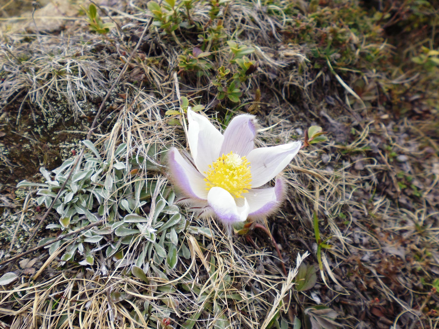
The Kalkalpen National Park is situated in the province of Upper Austria. It covers a representative variation of environmental conditions of the montane forest belt on limestone bedrock of the European Alps. Annual air temperature is approx. 7 – 10 °C and annual rainfall ranges between 1,500 and 2,000 mm. Snowfall occurs between October and May with an average duration of snow cover of about four months. The Kalkalpen National Park is one of Austria's largest distinct forest area, which has not yet been dissected by public transportation routes and human habitation. Mixed spruce-fir-beech forests, subalpine spruce forests, pastures and alpine habitats characterise this Karst area. The international importance of the Kalkalpen National Park is highly significant. A total of 22 habitat types, including eight that are priority, have been nominated for this Natura 2000 area. A total of 927 plant species (vascular plants), many endemics, have been documented which represent about one third of all plant species that exist in Austria.
The national park operates a dense monitoring network of permanent soil and vegetation plots. A meteorological network was established in the early 90ties. Inventories of fauna, flora and habitats as well as various thematic maps exist. The LTER site Zöbelboden is situated in the area of the national park. It is embedded in the park-wide monitoring scheme.
