Operator: University of Innsbruck, Alpine Research Centre Obergurgl
DEIMS-SDR Database: Obergurgl
Contact: Nikolaus Schallhart
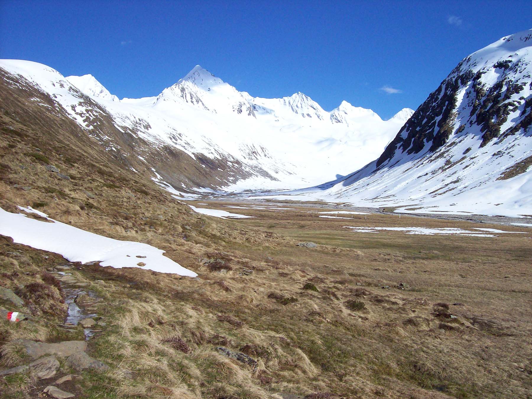
The LTER site Obergurgl (Ötztal, Tyrol, Latitude: 46,8671, Longitude: 11,0249 – wgs84 dec degrees) includes treeline ecotones, alpine ecosystems, glacier forelands, glaciers and rock glaciers from 1930 m to 3480 m a.s.l. The Alpine Research Centre Obergurgl (AFO), being an important field station of Innsbruck University since 1951, administrates and coordinates the LTER site (scientific director since 2009: Univ.-Prof. Dr. Brigitta Erschbamer, deputy: Ao.Univ.-Prof. Dr. Rüdiger Kaufmann, scientific coordinator since 2012: Mag. Dr. Nikolaus Schallhart).

The Alpine Research Centre is responsible for the monitoring programs and research projects in Obergurgl (weather stations and data collection along elevation - and succession gradients), for research support, dissemination and data availability. Until 2011 the AFO was responsible for the weather station of the ZAMG (Zentralanstalt für Meteorologie und Geodynamik) in Obergurgl. Thus, weather data can be provided from 1953 till present. Obergurgl has a long-term research tradition beginning with the continuous recordings of the rock glacier Hochebenkar’s flow velocity since 1938, the first mapping of the glacier forelands in 1960ies and the interdisciplinary MaB project Obergurgl in the 1970ies. Since 1995-1996 the glacier foreland of the Rotmoosferner is one of the intensively studied ecosystems with continuous microclimate measurements and monitoring of permanent plots. A high number of case studies dealing with colonization processes were carried out from different disciplines during the last decades mainly by researchers of Innsbruck University. The LTER-monitoring program of the AFO, going on since 2000, comprises 11 sites from the subalpine zone in Obergurgl (pasture, dwarf shrub heaths, ski pistes – 1950 m - 2350 m a.s.l.) to the lower alpine zone (Schönwieskopf, Rotmoos bog, Rotmoos valley, Rotmoos glacier foreland – 2300 m a.s.l.) to the alpine - (Hohe Mut – 2600 m a.s.l.) and subnival zone (2790 m - 2830 m a.s.l.), including 5 grazing exclusion sites. Presently, comprehensive data on biodiversity and physical properties are collected and in the near future databases will be available. The LTER site Obergurgl aims to promote interdisciplinary research projects and to connect management questions of the Nature Park Ötztal with actual research programs.