Schrankogel GLORIA (Extensive)
Operator: Österr. Akademie der Wissenschaften/Institut für Interdisziplinäre Gebirgsforschung & BOKU/Zentrum für Globalen Wandel und Nachhaltigkeit
DEIMS-SDR Database: Schrankogel GLORIA
Contact: Harald Pauli
Site description
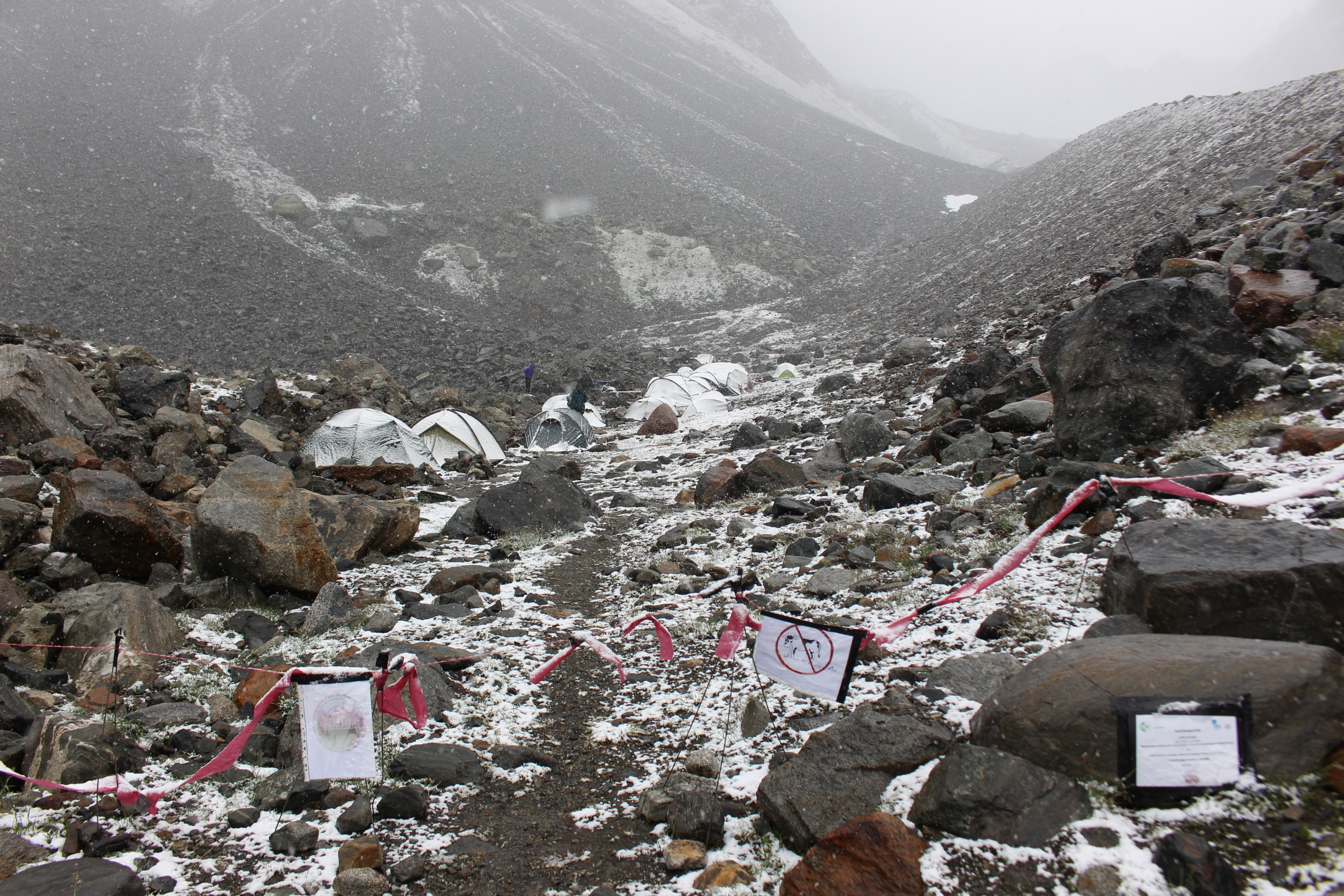
The first GLORIA Master Site dates back to 1994, when an extensive setting of permanent plots, arranged in transects across the alpine-nival ecotone was established at Mount Schrankogel in the central high Alps of Tyrol. These permanent plots were set up in response to evidence on upward shifts of alpine plants on high peaks of the Alps, reinvestigated in 1992 and 1993 (GOTTFRIED et al. 1994; GRABHERR et al. 1994, 2001; PAULI et al. 2001). The 3497m-peak Mount Schrankogel belongs to the highest mountains of the Austrian Alps. Its northern and eastern sides are surrounded by glaciers and glacier forelands. Its southern to western faces, however, are not interrupted by glaciers but show an altitudinal vegetation sequence characteristic for the central siliceous high Alps: from the lower-alpine zone, dominated by dwarf shrubs, to upper alpine Carex curvula-grassland, and finally to open and scattered nival vegetation on screes and solid rock. Around 1000 permanent plots of 1x1m², established in 1994, are distributed between 2900m and 3450m spanning across the alpine-nival ecotone from the upper margin of closed alpine grassland to the nival zone. Positions of the corner points of each quadrat were accurately surveyed using a tachymeter and photographs were made from each plot. Percentage cover of all vascular plant species and total percentage cover of bryophytes and lichens as well as the cover of abiotic surface components were recorded. Further, a Digital Elevation Model of 1x1m-resolution, covering the entire study area, was generated. Between 1994 and 2006, a number of additional studies were added to the extensive basic dataset of Schrankogel:
Besides an area-wide vegetation mapping (ABRATE 1998; DULLINGER 1998) and a description of subnival to nival plant assemblages (PAULI et al. 1999), model studies on vegetation distribution and patterns in relation to the macro- and micro-relief and micro-climate were conducted (GOTTFRIED et al. 1998; GOTTFRIED et al. 1999, 2002). Based on these studies, scenarios of future distribution patterns of keystone species were developed. Further, the influence of domestic and wild-living ungulates (ERTL et al. 2002; Hülber et al. 2005), nitrogen gradients (HUBER et al. 2007), permafrost patterns (HAEBERLI et al., unpubl.), flowering phenology and photoperiodism of alpine and nival vascular plants (KELLER & KÖRNER 2003; Hülber et al. 2006, 2010), as well as patterns of bryophytes (HOHENWALLNER et al. 2011) were investigated. Soil T at Schrankogel is measured at around 60 positions distributed over the mountain's southern slope system since 1997 on an hourly basis. A major resurvey in 2004 showed both increases of vascular plant species richness as well as declines in species cover of all subnival-nival species (Pauli et al. 2007). Conicidence in the position of the alpine-nival ecotone was found as well as an upward shift was indicated by comparing summer-snow data of the Eastern Alps and Schankogel vegetation data (Gottfried et al. 2011). In 2009, two remote cameras were installed to monitor the snow pattern on the slope system and cushion plant surveys were conducted (Nießner 2011, Prohaska, 2011). In 2014 the third major permanent plot resurvey is planned.
Publications
- Futschik, A.; Winkler, M.; Steinbauer, K.; Lamprecht, A.; Rumpf, S.B.; Barančok, P.; Palay, A.; Gottfried, M.; Pauli, H. (2020). Disentangling observer error and climate change effects in long-term monitoring of alpine plant species composition and cover. Journal of Vegetation Science 31: 14-25. doi: 10.1111/jvs.12822
- Steinbauer, K.; Lamprecht, A.; Semenchuk, P.; Winkler, M.; Pauli, H. (2020). Dieback and expansions: species-specific responses during 20 years of amplified warming in the high Alps. Alpine Botany 130: 1-11. doi: 10.1007/s00035-019-00230-6
- Praeg, N.; Pauli, H.; Illmer, P. (2019). Microbial diversity in bulk and rhizosphere soil of Ranunculus glacialis along a high-alpine altitudinal gradient. Frontiers in Microbiology 10, 1429 (21 pp). doi: 10.3389/fmicb.2019.01429
- Lamprecht, A.; Semenchuk, P.R.; Steinbauer, K.; Winkler, M.; Pauli, H. (2018). Climate change leads to accelerated transformation of high‐elevation vegetation in the central Alps. New Phytologist 220/2, 447-459. doi: 10.1111/nph.15290
- Winkler, M.; Illmer, P.; Querner, P.; Fischer, B.M.; Hofmann, K.; Lamprecht, A.; Praeg, N.; Schied, J.; Steinbauer, K.; Pauli, H. (2018). Side by side? Vascular plant, invertebrate, and microorganism distribution patterns along an alpine to nival elevation gradient. Arctic, Antarctic, and Alpine Research 50/1, e1475951 (13 pp.). doi: 10.1080/15230430.2018.1475951
- Fischer, B.M.; Schatz, H. & Querner, P. Pauli, H. (2016). Ceratozetes spitsbergensis Thor, 1934: an Arctic mite new to continental Europe (Acari: Oribatida). International Journal of Acarology 42: 135-139; doi 10.1080/01647954.2015.1133702.
- Hofmann, K., Lamprecht, A., Pauli, H. & Illmer, P. (2016). Distribution of Prokaryotic Abundance and Microbial Nutrient Cycling Across a High-Alpine Altitudinal Gradient in the Austrian Central Alps is Affected by Vegetation, Temperature, and Soil Nutrients. Microbial Ecology, 72, 704-716; doi 10.1007/s00248-016-0803-z.
- Hofmann, K., Pauli, H., Praeg, N., Wagner, A.O. & Illmer, P. (2016). Methane-cycling microorganisms in soils of a high-alpine altitudinal gradient. Fems Microbiology Ecology, 92, fiw009, 1-10; doi 10.1093/femsec/fiw009.Prohaska, R. (2011): Schädigungsausmaß an ausgewählten Polsterpflanzenpopulationen auf klimatisch kontrastierenden Standorten am Schrankogel in Tirol. Diplomarbeit, Univ. Wien.
- Nießner, S. (2011): Wachstumsdynamik bei Silene acaulis ssp. exscapa und Saxifraga bryoides im alpin-nivalen Ökoton am Schrankogel in den Stubaier Alpen. Diplomarbeit, Univ. Wien.
- Gottfried, M.; Hantel, M.; Maurer, C.; Toechterle, R.; Pauli, H. & Grabherr, G. (2011): Coincidence of the alpine-nival ecotone with the summer snowline. Environmental Research Letters, 6, 014013 (12 pp.).
- Hohenwallner, D.; Zechmeister, H.G.; Moser, D.; Pauli, H.; Gottfried, M.; Reiter, K. & Grabherr, G. (2011): Alpine bryophytes as indicators for climate change: a case study from the Austrian Alps. Bryophyte ecology and climate change (ed. by Z. Tuba; N.G. Slack & L.R. Stark), pp. 237-250. Cambridge University Press.
- Hülber, K.; Winkler, M. & Grabherr, G. (2010): Intraseasonal climate and habitat-specific variability controls the flowering phenology of high alpine plant species. Functional Ecology, 24, 245-252.
- Pauli, H.; Gottfried, M.; Reiter, K.; Klettner, C. & Grabherr, G. (2007): Signals of range expansions and contractions of vascular plants in the high Alps: observations (1994-2004) at the GLORIA master site Schrankogel, Tyrol, Austria. Global Change Biology, 13, 147-156.
- Pauli H., Gottfried M., Reiter K., Klettner C., Grabherr G. (2007): Signals of range expansions and contractions of vascular plants in the high Alps: observations (19942004) at the GLORIA* master site Schrankogel, Tyrol, Austria Global Change Biology (2007) 13, 147156, doi: 10.1111/j.13652486.2006.01282.x
- Huber, E.; Wanek, W.; Gottfried, M.; Pauli, H.; Schweiger, P.; Arndt, S.K.; Reiter, K. & Richter, A. (2007): Shift in soil-plant nitrogen dynamics of an alpine-nival ecotone. Plant and Soil, 301, 65-76.
- Hülber, K.; Gottfried, M.; Pauli, H.; Reiter, K.; Winkler, M. & Grabherr, G. (2006): Phenological responses of snowbed species to snow removal dates in the Central Alps: Implications for climate warming. Arctic Antarctic and Alpine Research, 38, 99-103.
- Hülber, K.; Ertl, S.; Gottfried, M.; Reiter, K. & Grabherr, G. (2005): Gourmets or gourmands? Diet selection by large ungulates in high-alpine plant communities and possible impacts on plant propagation. Basic and Applied Ecology, 6, 1-10.
- Keller, F. & Körner, C. (2003): The role of photoperiodism in alpine plant development. Arctic Antarctic and Alpine Research, 35, 361-368.
- Gottfried, M.; Pauli, H.; Reiter, K. & Grabherr, G. (2002): Potential effects of climate change on alpine and nival plants in the Alps. Mountain biodiversity - a global assessment (ed. by C. Körner & E.M. Spehn), pp. 213-223. Parthenon Publishing, London, New York.
- Ertl, S.; Hülber, K.; Reiter, K. & Grabherr, G. (2002): Einfluss von Weidevieh und Wild auf die Ausbreitung alpiner Gefäßpflanzen. In: Bericht über das 10. Österreichische Botanikertreffen, pp. 7-10. BAL Gumpenstein, Irdning
- Pauli, H.; Gottfried, M. & Grabherr, G. (2001): High summits of the Alps in a changing climate. The oldest observation series on high mountain plant diversity in Europe. "Fingerprints" of climate change - adapted behaviour and shifting species ranges (ed. by G.-R. Walther; C.A. Burga & P.J. Edwards), pp. 139-149. Kluwer Academic Publisher, New York.
- Grabherr, G.; Gottfried, M. & Pauli, H. (2001): Long-term monitoring of mountain peaks in the Alps. Biomonitoring: General and applied aspects on regional and global scales (ed. by C.A. Burga & A. Kratochwil), pp. 153-177. Tasks for Vegetation Science, Kluwer, Dordrecht.
- Pauli, H.; Gottfried, M. & Grabherr, G. (1999): Vascular plant distribution patterns at the low-temperature limits of plant life - the alpine-nival ecotone of Mount Schrankogel (Tyrol, Austria). Phytocoenologia, 29, 297-325.
- Gottfried, M.; Pauli, H.; Reiter, K. & Grabherr, G. (1999): A fine-scaled predictive model for changes in species distribution patterns of high mountain plants induced by climate warming. Diversity and Distributions, 5, 241-251.
- Abrate, S. (1998): Vegetationskarte des Schrankogel, Stubaier Alpen. Diplomarbeit, Univ. Wien, 105 pp.
- Dullinger, S. (1998). Vegetation des Schrankogel, Stubaier Alpen. Diplomarbeit Univ. Wien, 189 pp.
- Gottfried, M.; Pauli, H. & Grabherr, G. (1998): Prediction of vegetation patterns at the limits of plant life: a new view of the alpine-nival ecotone. Arctic and Alpine Research, 30, 207-221.
- Grabherr, G.; Gottfried, M. & Pauli, H. (1994). Climate effects on mountain plants. Nature, 369, 448.
- Gottfried, M.; Pauli, H. & Grabherr, G. (1994): Die Alpen im "Treibhaus": Nachweise für das erwärmungsbedingte Höhersteigen der alpinen und nivalen Vegetation. Jahrbuch des Vereins zum Schutz der Bergwelt, München, 59, 13-27.
